The City we know today as Orinda began in the 1840s as an unnamed rural area located within four Mexican land grants: Rancho Laguna de los Palos Colorados, Rancho El Sobrante, Rancho Acalanes and Rancho Boca de la Cañada del Pinole, but with the American conquest of California complete by 1848, land soon started changing hands.
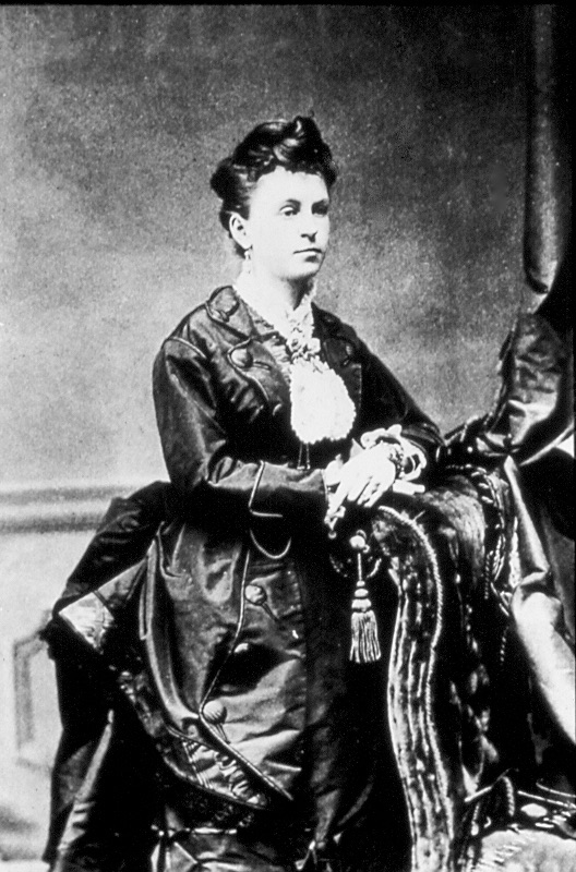
In 1875, developer William Camron paid $20 per acre for 2,937 acres and his wife, Alice, who liked to be known as “Matchless Orinda” after her favorite 17th century British poet, insisted they should call their new property Orinda Park.
Within eight years, Camron had lost all his money, deserted his family, and sold off 1,178 acres to José and Miguel de Laveaga, two brothers from San Francisco, for $50,880.
By the dawn of the 20th century, “Park” had been dropped from the name, and the area known simply as Orinda.
Long before the speculators and developers arrived, however, Orinda had been inhabited by the Costanoans, a friendly, primitive California Indian tribe, estimated to number around 7000 at the time America was declaring Independence. By 1910 they were virtually extinct. But some of the Costanoans’ artifacts can still be found in the Orinda History Museum, and the OCC’s 11th hole will be forever honored as the location of an extensive Indian burial ground.
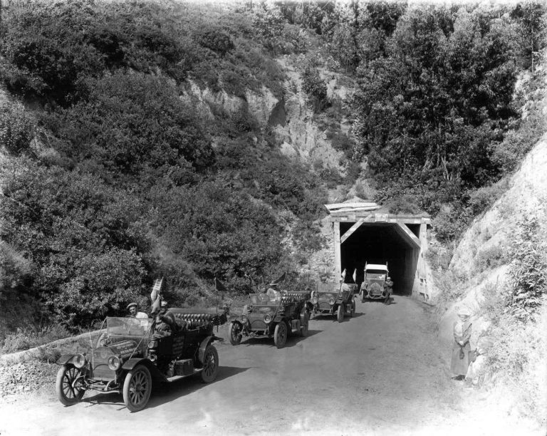
Beautiful and balmy though Orinda was for weekenders, they often felt they were putting their life in their hands each time they came through the terrifying 1903 tunnel or rode the short-lived narrow gauge California & Nevada railroad: it wasn’t unknown for the train to derail at “Frenchman’s Curve” and all passengers be asked to push it back on its tracks.
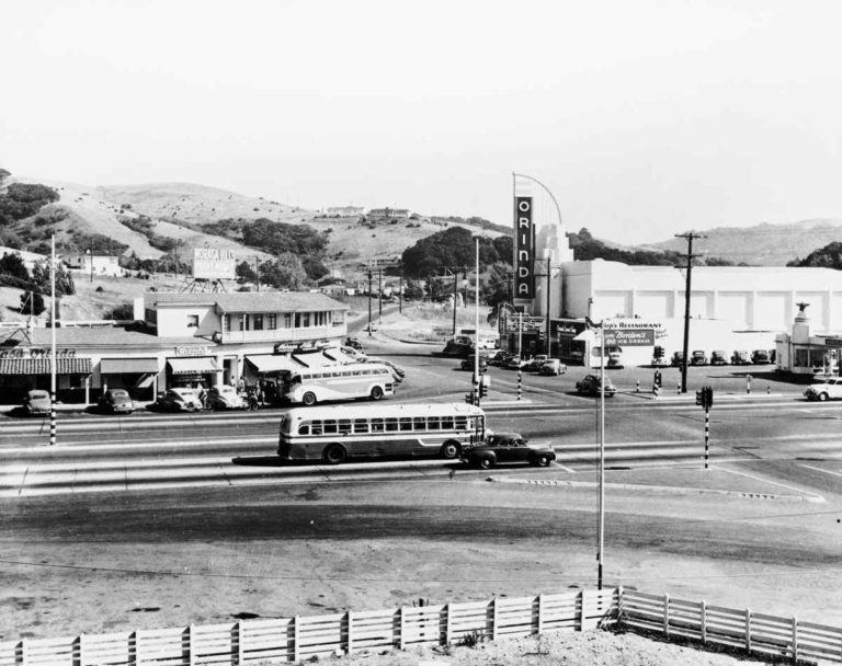
Everything changed with the opening of the Caldecott tunnel in 1937: suddenly Orinda was more than just a place to picnic or get in a round of weekend golf, and by the time work began on BART in the late 1960s, Orinda was well on its way to becoming a desirable residential commuter town.